Up Ron & Marjolijn's holiday pictures » 2011-03 Vietnam » 09-Sapa Prev Next Slideshow

 Previous image  Next image  Index page  Original Image [16-Valley of the Suoi Ta Van River.jpg - 1.2MB]
04-All kinds of herbs
05-Chickens
06-Mom women
07-Children
08-Black Hmong woman
09-Children
10-Local woman
11-Red Dao women
12-Red Dao women
13-Black Hmong woman
14-Valley of the Suoi Ta Van River
15-Valley of the Suoi Ta Van River
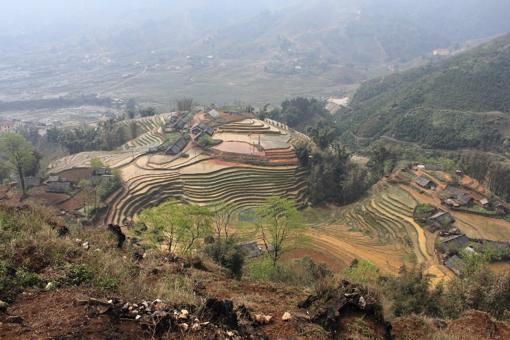
  16-Valley of the Suoi Ta Van River.jpg - Valley of the Suoi Ta Van River  
17-All these woman were trying to sell us the same Chinese stuff
18-School in the valley
19-Suoi Ta Van River
20-Water help to separate the wheat from the chaff
21-Child and buffaloes
22-Bridge crossing the Suoi Ta Van River
23-Suoi Ta Van River
24-Somewere in the valley
25-Walking around the guides property
26-Sapa
27-Hoang Lien Son Mountains
28-View from our hotel

Valley of the Suoi Ta Van River Download Original Image
Latitude: N 22°18'57,84" | Longitude: E 103°52'23,04" | Altitude: 1183 metres | Location: Mong Hoa | City: Sa Pá | State/Province: Lao Cai | Country: Vietnam | Copyright: Ron Harkink | See map
Total images: 32 | Help